Check Out My New Book: “Photograph Thailand”

Having traveled around Thailand extensively, capturing literally thousands of photos and seeing stunning places most people never visit, I decided to put all of that experience together into a book. I am really excited to announce my new book, Photograph Thailand.

Photograph Thailand is your guide to great photo locations throughout the kingdom, from stunning night shots in Bangkok to breathtaking world heritage temples in Chiang Mai. You will discover hidden natural treasures and major destinations for every region. You will gain valuable insights into getting the perfect shot at each location, whether its a festival or a beautiful white sand beach you will find valuable information on getting the perfect shot. This extensively researched guide is great for the casual photographer as well as the professional. With over 140 beautiful photos that brighten every page, you’ll find your inspiration and insider tips for photographing the best of Thailand.

  • Over 140 beautiful full-color photos
  • Top destinations throughout all of Thailand
  • Hidden gems off the tourist trail
  • Insider tips and recommendations for capturing great photos
  • Detailed post-production techniques for professional looking photos

Photograph Thailand is available now at Amazon.com and will arrive in print and other booksellers in the months ahead. Please order a copy and if you enjoyed it, please leave a great review.

Here are a few screenshots from the book.

Photograph Thailand
Photograph Thailand
Photograph Thailand Chapter Spread
Photograph Thailand Page Spread

Arches National Park

Arches National Park is one of the smallest parks in the US, but one of the most visited—and for good reason. It’s fantastic! The rock formations are really cool. There is so much to see in the little park that it was difficult to fit it all in the short amount of time we had. We started by going to the famous Delicate Arch early in the morning (before sunrise). While the arch is best viewed in the afternoon light, the morning hike was actually a lot of fun and there were far fewer people around. We made our way around to several other arches and features within the park throughout the morning. I would have loved to wait for better light in the afternoon, but we had to head out.

Delicate Arch
Delicate Arch
Arches Overlook
Arches Overlook
Balanced Rock
Balanced Rock
North Window
North Window
Pine Tree Arch (I think)
Skyline Arch
Skyline Arch

Canyonlands National Park

Canyonlands National Park is a fantastic park with a lot to see. Canyonlands has two entrances. We entered near Moab. This is where most people go since the other entrance is over an hour away. That part of the park has a lot of interesting features, though to actually see them you need to do a lot of hiking. Unfortunately, I had only one afternoon to see it all in so we stuck to the main part of the park. Still, I managed to get to quite a lot of things even though I missed some of the hikes because there was not enough light left in the day to do them and because there was a pretty good storm that made its way in. When it rains in deserts like this, the water does not soak into the ground, making a for a wet, muddy mess. I actually found the storm quite interesting and thought it really made for a unique visit.

Canyonlands after a storm
Canyonlands Tree
Canyonlands Tree
Horseshoe Bend Overlook
Horseshoe Bend
Horseshoe Bend
Pinnacles
Pinnacles
Tree at Cayonlands
Tree at Cayonlands

A Drive to Utah

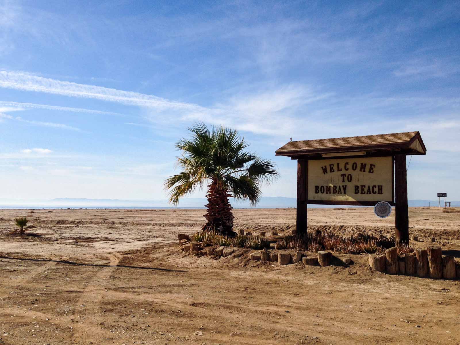
Visiting Arches National Park and Canyonlands National Park was really high on my bucket list. When I finally had the opportunity to go last month, I jumped at it.

Instead of flying to Salt Lake City and then driving to Moab (the closest city to the parks), me and my friend decided we would drive from Seattle. Salt Lake City is a 12½ hour drive from Seattle, but we split it up by stopping at my father’s along the way. The West is quite a beautiful place so I just assumed that the Mountain states would have their own beauty as well, the reason we decided to drive.

I have never been on a more boring drive in my life. I’ve driven all along the West Coast and over to Yellowstone in Montana, both of which are great drives (the Coastal drive along Highway 101 is considered one of the best drives in America). The drive to Salt Lake City was terrible. For 10 hours there was nothing to see. There are not even many cities along the way. The only sizable city is Boise, Idaho and it only has a little over 200,000 people. All the way from Eastern Washington to Salt Lake City it was hills and sage brush, and nothing else. Fortunately, the speed limit is 80 mph (130 kph), so I was going 90 mph (145 kph) the whole way.

Once we got to Salt Lake City we stayed with friends of my friend. Since they used to live in Seattle, I assumed they would be somewhat in line with my thinking. Uh, no. Utah is a crazy conservative state and it appears to infect people and ruin them. They guys thought they were interesting and cool, but really they just smoked pot constantly and were rather unpleasant to be around. Their drug habit was out of control and unlike Washington, pot is illegal in Utah.

In fact, most of the people in Salt Lake City were rude and unpleasant. And racist. One thing I have noticed, people who live in conservative states tend to be really unhappy and they take it out on everyone else. They think they are great, but they are so not.

After some stupid crap like explaining how crystals will heal me and then wanting to cook beans in the morning, we finally managed to start the drive to Moab. Moab is another 4 hours from Salt Lake City. By the time we actually got there, much of the day had been lost. The crazy friends finally ditched us (“We’ve seen the parks before—they’re okay but come get high with instead.”) and off they went. Not before they wanted us to drive them an hour out to the camp site. Hell no. They already wasted most of my day. I was going to see those parks if it killed me.

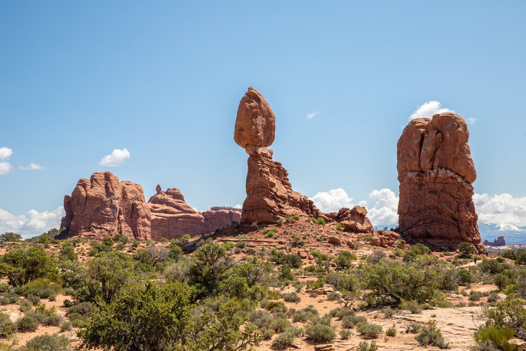
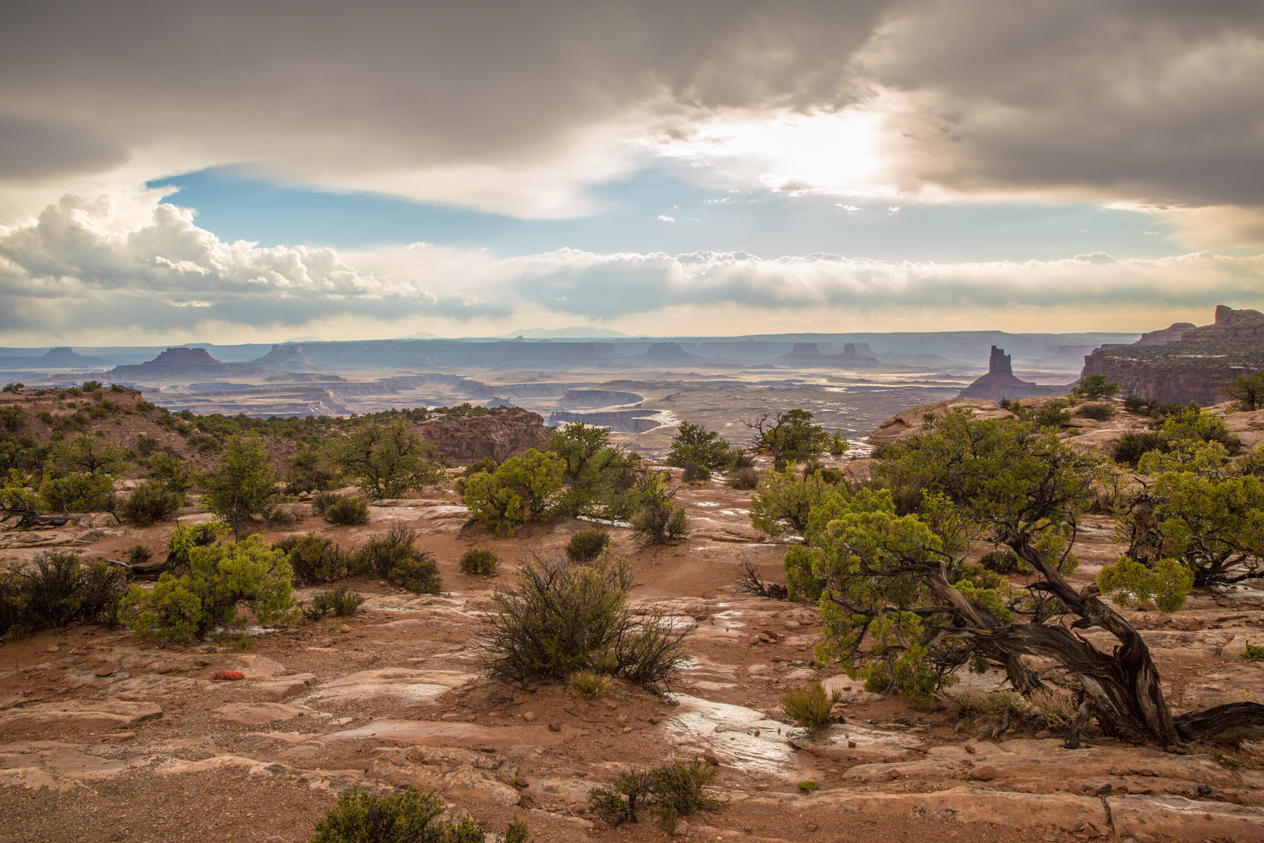
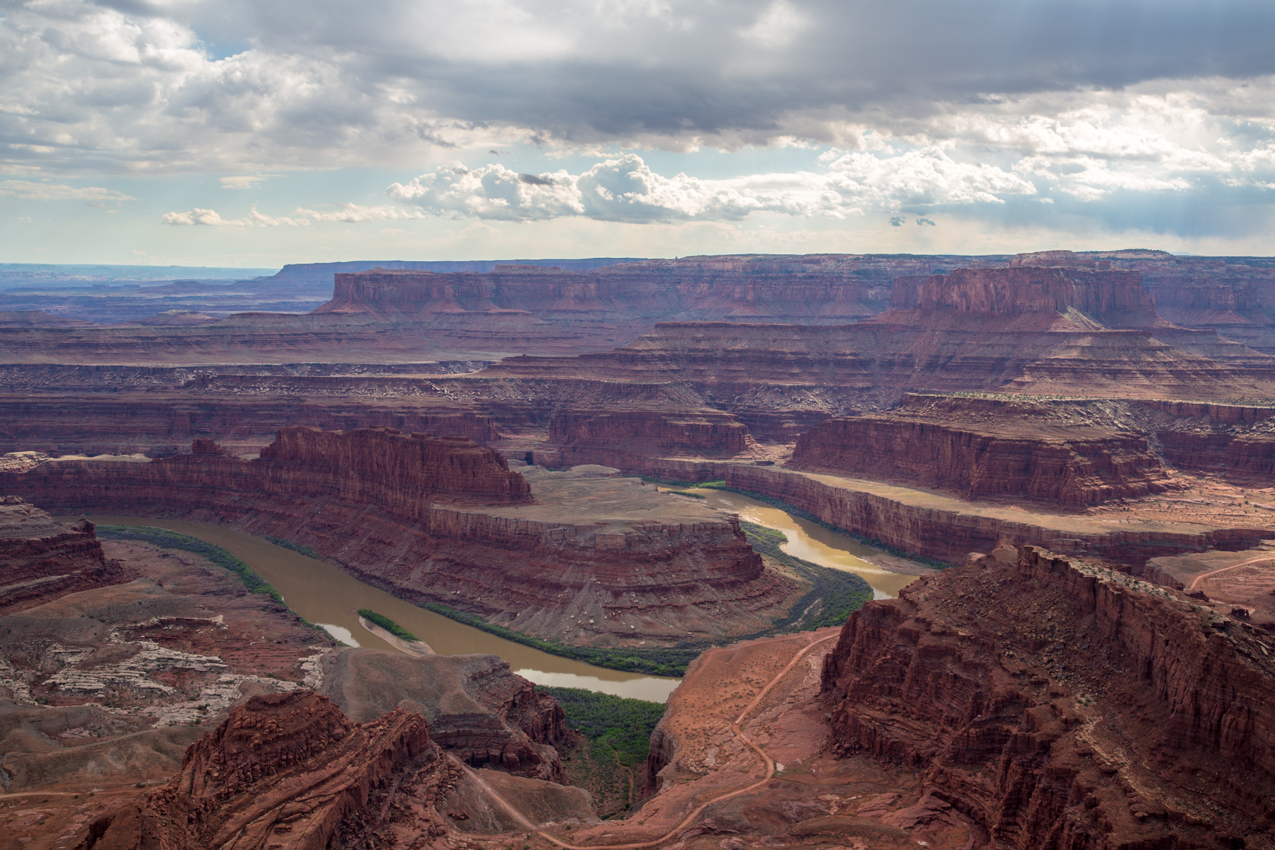
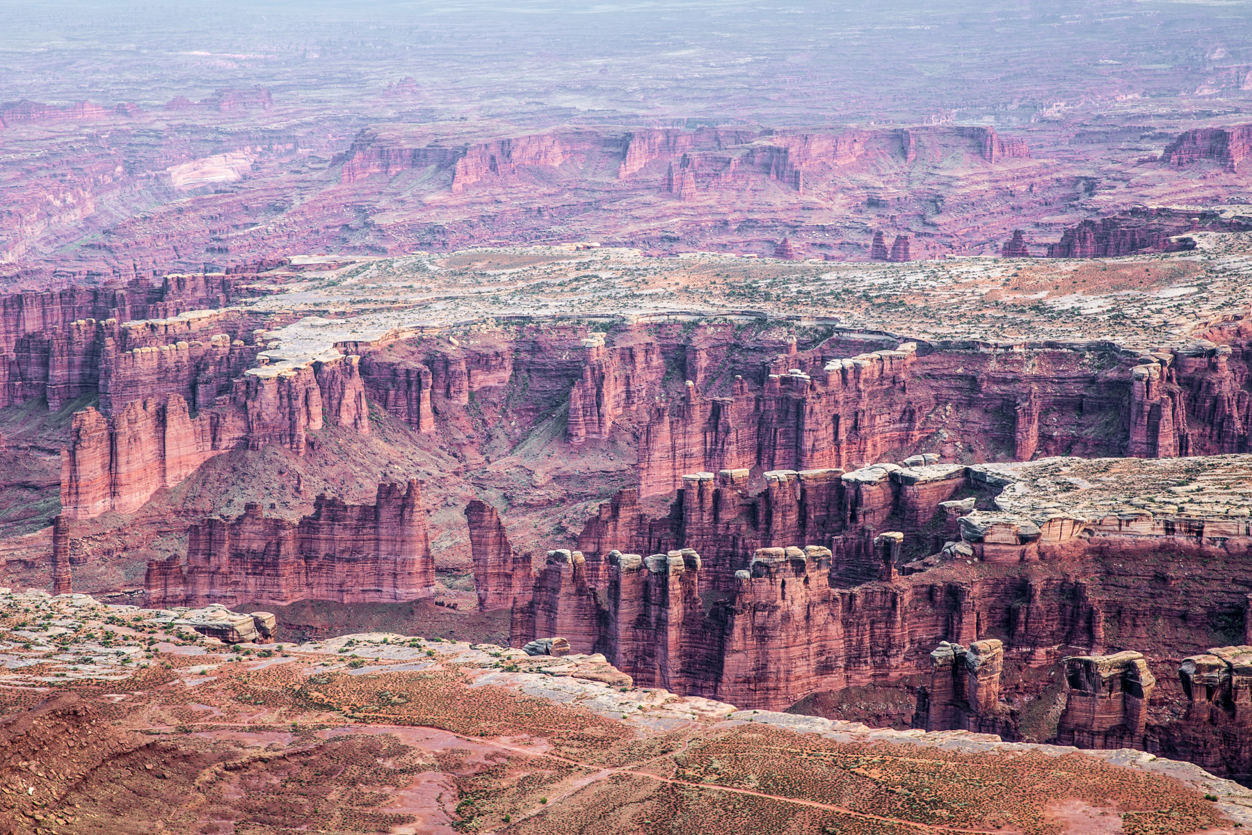
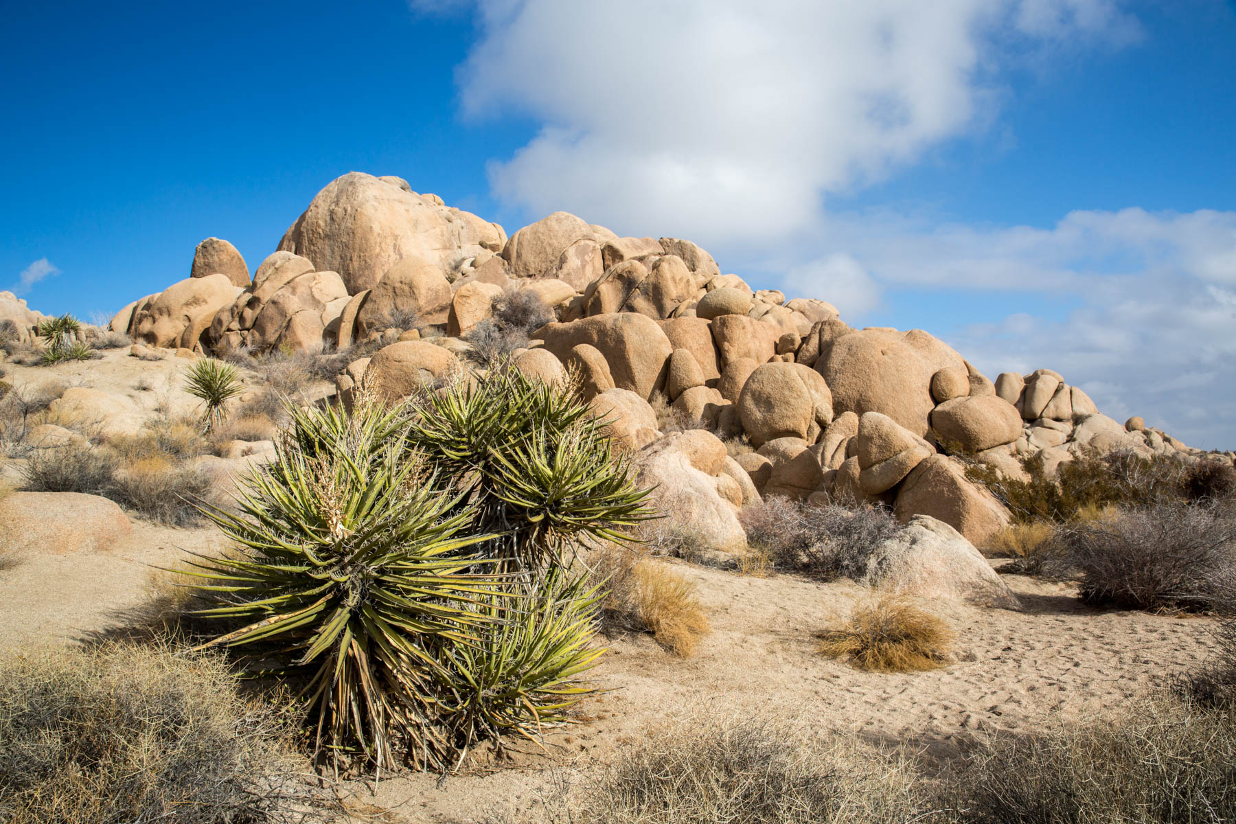
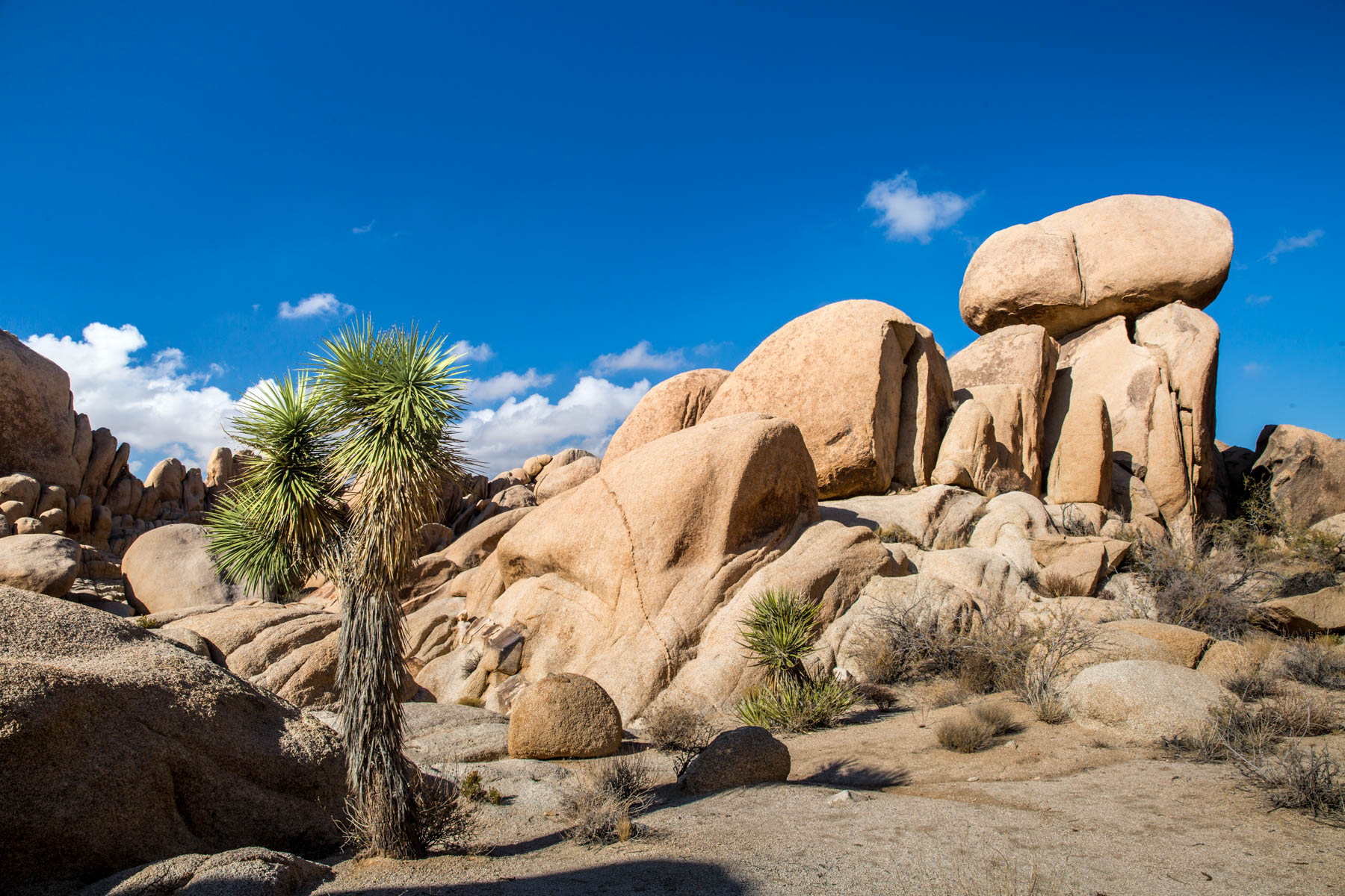
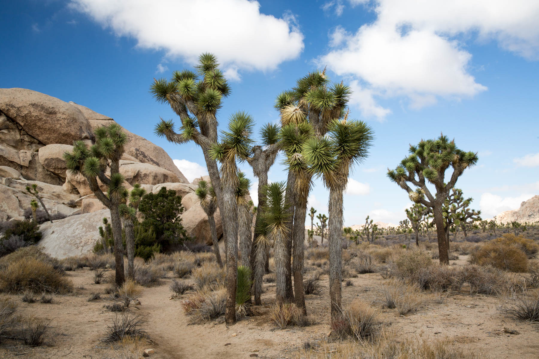
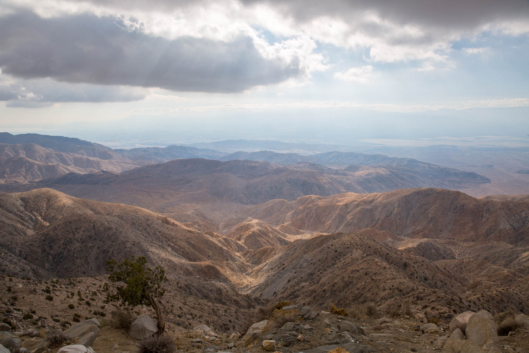
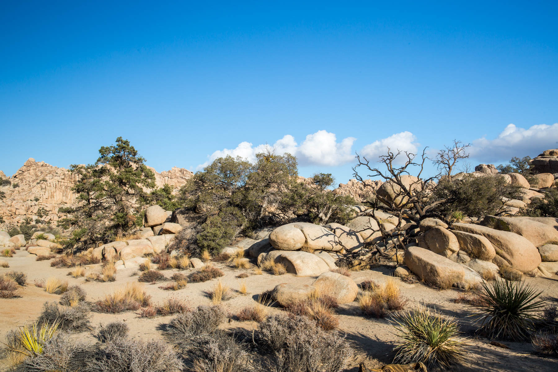
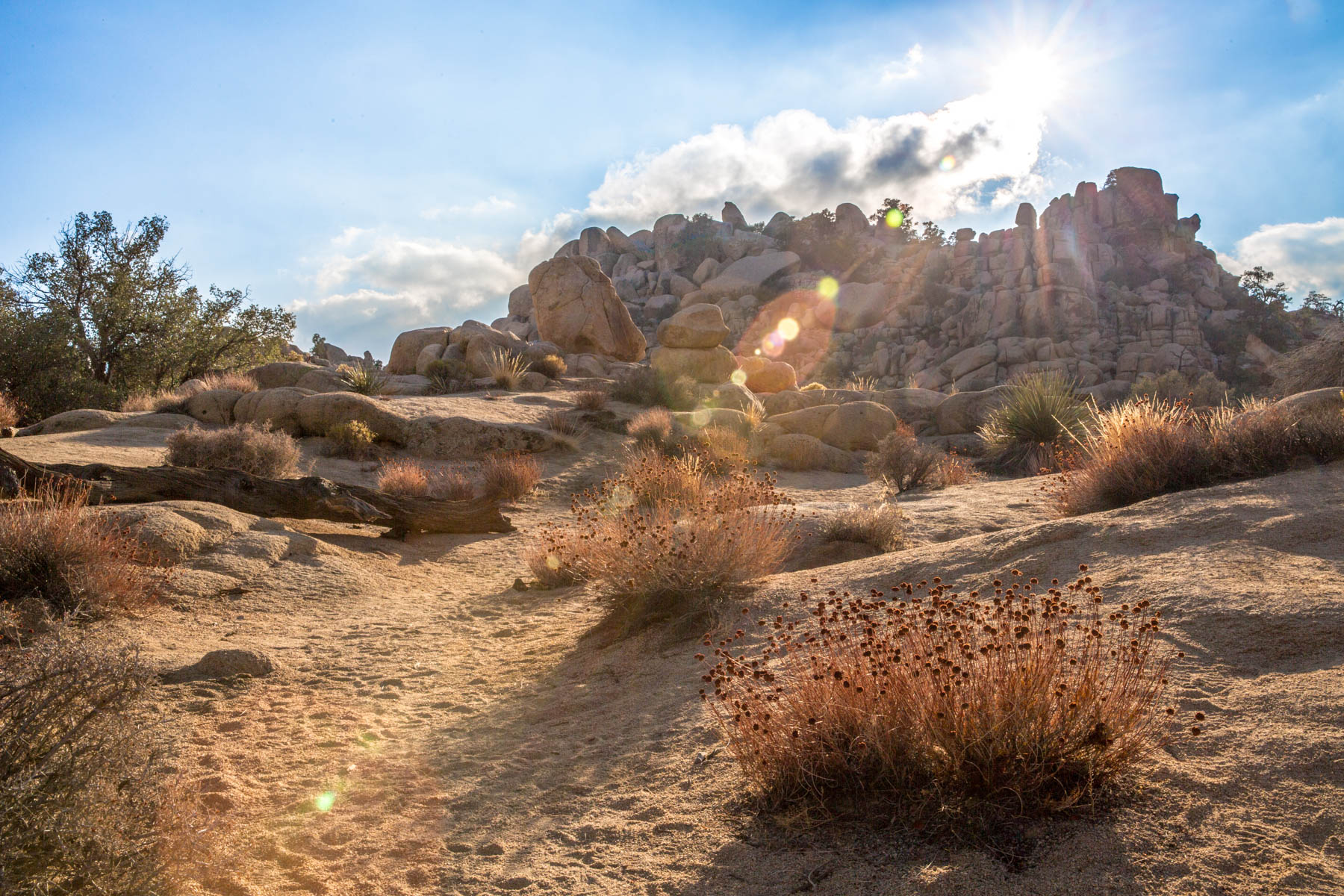
Finally we made it to Canyonlands first and discovered there was no fee because of National Parks Week. Yay! The next morning we were up early for Arches. I will post more about the parks next week, along with some photos. Both parks are rather small surprisingly, but they are packed with a lot of great sights. I did a little hiking, but in the interest of time we could only do so much. Moab itself was a nice little town too. Very touristy, but the people were nice unlike Salt Lake City.

In retrospect, I would not have driven and I would not have stayed in Salt Lake City. There is nothing there. I would have gotten down to Moab as quickly as humanly possible. I wish I could say I would never be in Utah again, but that would not be true. Utah is covered in stunning national parks and I want to see them so I will have to deal with those crazies once again at some point. When we left, we drove straight from Moab, through Salt Lake City without stopping, and spent the night in Boise, Idaho. I wanted as much distance between me and Salt Lake City as possible.

I will post photos next week.

Two Weeks in Puerto Vallarta

Puerto Vallarta is one of my favorite places in Mexico to go for vacation. I have been to PV four times before, so really had no plans to do anything other than relax on the beach and drink. I rented a place on AirBnB that turned out to be just fine for the price. At $325 for two weeks, it was practically a steal. We were just a short walk from the beach and the center of town.

Puerto Vallarta is the gay capitol of Mexico and a rather cosmopolitan place. Most people, especially the straights, go to Nuevo Vallarta (the new part) that is mostly resorts and the like. I always stay in Viejo Vallarta (the old town) in the Zona Romantica. Not only is it the best place to be for great restaurants, bars, and beaches, it is the part of PV that is surrounded by hills and oceans preventing the development from getting out of hand.

In the last five year, much has changed. A lot has been built and it continues to grow. The population had increased as has the number of tourists, but they are still mostly Americans (with a smattering of Canadians and even fewer Europeans). Prices have gone up, but relative to the US it is still less expensive. My entire two week trip, including flights, was $1500, so not too bad.

Other than relaxing on the beach, which I did plenty of that, Puerto Vallarta has some great restaurants and the number has only increased. I went to my most favoritest restaurant, the Margarita Grill, three or four times. They have the best molcajeta’s in the world and their margaritas are really strong.

Joe Jack’s Fish Shack became a new favorite. They have fantastic food and the staff is absolutely wonderful. We went there several times. Jorge’s Hideaway Shrimp Shack is really, really good. The food is amazing and the drinks are strong. Jorge is super nice and his son is super hot. =) I forgot they didn’t take credit cards and we were going to leave and come back, but they said stay and pay them later. We came back right away and they were like, “Why didn’t you just come back tomorrow so you can not worry tonight?” Great place. I am a huge mole fan. Usually the mole in restaurants is too sweet, which is not tradition, but not at El Mole de Jovita—heir mole is perfection.

I never get tired of Puerto Vallarta. Normally I would not stay someone for so long unless I was living there, but PV is the exception. I never get tired of it. The people are nice, the beach is nice, the bars are fun, and I always meet wonderful people when I am there.

Malecon statue at sunset

Puerto Vallarta Malecon
Bahia de Banderas sunset
Bahia de Banderas
Bahia de Banderas
Puerto Vallarta sunset
Playa de los Muertos sunset

(Sorry for the shitty food pictures. Trust when I tell you all of these places had amazing food, including Joe Jack’s which I was too busy eating to take a photo. Jorge’s would be a five star restaurant in the U.S.)

Different types of mole at Jovita's
Different types of mole at Jovita’s
Jorge's Hidden Shrimp Shack
Jorge’s Hidden Shrimp Shack
Fresh guacamole made in front of you at Margarita Grill
Beef molcajete at Margartia Grill (this pictures sucks, but trust me, it tastes great)

The Salton Sea: Desolation and Despair

The Salton Sea is not actually a sea, nor is natural. The Salton is a lake and was accidentally created during the construction of irrigation canals along the Colorado River in 1905. It is considered one of the worst environmental disasters in California. During the construction a cut was made in the river and the water flow overwhelmed the canal and flowed into the Salton Basin forming the Salton Sea. Today the lake is fed by a few rivers, agricultural runoff, and rain.

The Salton Sea’s salinity and mineral content, along with pollutants, changes with rainfall and runoff. This leads to a lot of die offs and variations in water levels. When I took the photo with the dead tree, I had to walk out into a field of mud. Southern California had received unprecedented rain over the previous few days and it had raised the water level in that area for a short time. Fortunately, by the time I visited the levels had dropped.

Not long after the Salton Sea first formed, several resorts were created along its shores, many in the 1950s. Most of the communities are ruins now, covered in layers of salt. Interestingly, the “resort” town of Bombay Beach is 223 feet below sea level (as in the level of the ocean) and is the lowest community in America with just under 300 people. Walking around these places gave me a really eerie feeling. There was so much desolation and despair all around.

Despite the environment disaster the Salton Sea was, it has become an important layover and feeding ground for many birds. Over 400 specifies of birds have been documented at the Salton Sea and it is one of the significant bird populations in America. Efforts are underway to improve the sea’s water quality and protect the surrounding area.

On a side note, while driving around the Salton Sea there was an US Boarder Patrol station. Now, to put this into perspective, I was about 100 miles from the border with Mexico. When my friend and I drove by, we had to stop and they asked if we were both Americans. I did not answer (I was offended at being stopped in my own country), but my friend said yes and we were on our way. He is black and I am white, but I can promise you if we would have been treated very differently if we were a shade in between. I was going to complain to the agent and basically get all white privilege on this border patrol guy, but my friend who is far more respectable than I am asked me to pleeeeaaase not make a scene, so I settled for glaring at the man and not speaking.

Still, I found that border patrol stop in the middle of California to be very problematic, in terms of freedom of movement within my own country and constitutionally. I realize this type of thing is common in other countries, but not in the US. We are supposed to have protections against this very sort of thing. When I looked into it, I found out that many people find it problematic and there are a lot of legal uncertainties about the practice. The practice of stopping people like that is questionable at best, though no one seems to have seriously challenged it and the CBP seems to not push the issue. I complained to the CBP Commissioner and am waiting for a response.

Salton Sea State Recreation Area
Salton Sea
Salton Sea
Bombay Beach, Salton Sea
Dead fish along the shores of the Salton
Salton Sea
Salton Sea
Salton Sea
Salton Sea
Ruins along the shores of the Salton Sea
Dead tree near the Salton Sea
Palm trees near the Salton Sea

Joshua Tree National Park

I have always wanted to go to was Joshua Tree National Park and never had the chance until I was down in Orange County visiting my friend. About two hours from Irvine, Joshua Tree is only an hour from Palm Springs, so we stayed there for a couple nights.

Ostensibly the gay capital of Southern California, Palm Springs is supposed to be a great little vacation town and it actuality it is. Definitely catering to tourists, Palm Springs is a small desert town out in the middle of nowhere. There is not much there except access to Joshua Tree National Park, a small museum, touristy shopping, and some bars. The people are really friendly and the bars have nice people that are chatty and fun, a rather unusual thing these days.

Joshua Tree was my main target though, and so me and my friend spent a day out there, getting up at the ass crack of dawn to get there early. Joshua Tree is named after the trees in the park that supposedly reminded some Mormon immigrants of Joshua reaching his hands toward God in prayer. Whatever.

Part of the Colorado and Mojave Deserts, Joshua Tree was a national monument until the early 1990s. The Park is decent size, even by Western standards, and is slightly larger than the state of Rhode Island. Despite that, most of the popular sights are all relatively close to one another.

Since we were visiting in the fall, the weather was cooler. Deserts actually get rather cold at night all year round, especially in the winter (being a desert just means a lack of precipitation, not the temperature). It was also tarantula mating season, which unnerved my friend to no end. I only saw one and it backed into its hole in the ground immediately. They feel the stopping of feet, so they hide, and they can’t hurt you anyway.

Joshua Tree Jumbo Rocks
Joshua Tree Cholla Cactus Garden
Joshua Tree Jumbo Rocks
Joshua Tree stand
Joshua Tree stand
Joshua Tree vista
Joshua Tree vista
Joshua Tree Hidden Valley
Joshua Tree afternoon

The Hoh Rainforest

Many people surprised to find out that Washington has a rainforest, but we do. In fact, we have two! One of the few temperate rainforests in the world, the Hoh Rainforest (named after the Hoh tribe) receives an average of 150 inches of rain a year (380 cm). The other nearby rainforest is called the Quinault Rainforest (also named after a Native American tribe). Both rainforests are part of the Olympic National Park, one of the most beautiful places in America (and the world) in my opinion.

All that rain makes for a rather lush forest with cedars and spruce draped in moss and a lot of vibrant green. While hiking I came right up to an elk. I even had my camera and tripod set up and ready, but I was so excited I managed to fuck up the photos by focusing on the trees instead of the elk. Argh! I was really upset when I got back home and saw how bad the photos of the elk were, but still rather excited I got to see one. Animal sighting have been declining the Olympic National Park. When I was younger it was not at all uncommon to see elk, deer, and even occasionally cougars and bears. That rarely happens any more.

Moss covered trees in the Hoh Rainforest
Pond in the Hoh Rainforest
The Hoh River
The Hoh River
Tightly packed trees in the rainforest
A stand of birch
A stand of birch
Hoh Rain Forest
Hoh Rain Forest
Elk in the Hoh Rainforest

A Hike Up to Lake Serene Past Bridal Veil Falls

Lake Serene is a stunningly beautiful lake up in the mountains past Goldbar, just a little over an hour from Seattle. I had met a new friend who had just moved to the area and was interested in going hiking, so me and friend took him and his friend to hike up to Lake Serene.

I’ve hiked around the area in the past, but I never actually did the hike to Lake Serene so I was excited to do the hike myself. Not only that, I love the Pacific Northwest and always like showing off the natural beauty to visitors and newbies—especially when my new friend was from a desert. Palm Springs is basically the opposite of western Washington. Palm Springs is a desert and western Washington is lush green forest.

What I did not bother to look at when planning this hike, nor did I notice the sign at the trail head, was the level of difficulty. The hike is very strenuous. Take that, plus the fact that I was really overweight and out of shape at the time (I have since lost 20 lbs and am working out regularly), and you have a recipe for one hell of a fucking hike. Most people stop at Bridal Veil Falls, but I did the whole thing.

I thought I was going to die every step of the way, but I made it to the top and have these photos to prove it. One couple passing us was seriously worried about me, but I told them I had friends with me. They were just up a little way ahead. My friends were nice enough to wait for me as I huffed and puffed my fat ass up the steep switchbacks of the rather rocky trail.

The hike is definitely worth all of the effort. If nothing else, it convinced me I needed to get back in shape. I think the lake would have been more picturesque if I had arrived much earlier in the day, but there was little chance of that happening unless I wanted to start hiking before dawn (I did not). Still, Lake Serene is stunning. It’s a bit cold even in the summer because of the high elevation (there was even snow still around), but that did not stop some people from swimming!

Vista across the Central Cascades
Rocky 7.2 mile trail
Baby caterpillar
Baby caterpillar
Bridal Veil Falls
Bridal Veil Falls
Bridal Veil Falls
Bridal Veil Falls
Lake Serene
Lake Serene